
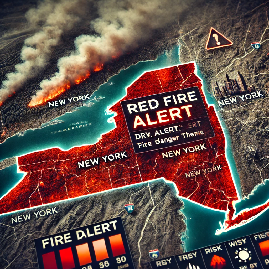


In an effort to enhance wildfire preparedness across New York, Governor Kathy Hochul announced a new state-of-the-art weather tool to monitor and inform residents about potential wildfire risks in real time. Developed in collaboration with the New York State Department of Environmental Conservation (DEC) and researchers from the University at Albany’s Mesonet weather network, this tool aims to provide New Yorkers with daily Fire Danger Ratings, allowing for more precise updates and improved public safety measures.
The system, part of a larger statewide weather network managed by the New York State Mesonet at the University at Albany, leverages sophisticated real-time data to assess and communicate wildfire risks. “We’re seeing the effects of climate change in real time, with dangerous wildfire seasons across the continent year after year,” Governor Hochul emphasized in a press release. “We want to make sure the state has the latest tools and information to prepare for and respond to wildfires to ensure our communities and resources are protected.”
The newly launched Mesonet system, considered the most advanced early-warning weather network in the U.S., includes nearly 130 weather stations that monitor conditions across New York, creating a more localized and responsive approach to wildfire danger. The network now feeds data into daily Fire Danger Ratings, a feature designed to give New Yorkers easier access to wildfire risk information. In addition, the Mesonet technology enhances the capacity of the DEC to expand the number of monitoring stations within each of the state’s designated Fire Danger Rating Areas, improving the accuracy and timeliness of alerts.
DEC Interim Commissioner Sean Mahar highlighted the critical role of accurate, real-time weather data in wildfire prevention. “Even before wildland fires ignite, accurate data is crucial to deploy resources and advise communities of potential dangers,” Mahar noted. He also explained that the collaboration with Mesonet enhances the DEC’s ability to monitor fire-prone areas closely, enabling more proactive steps to prevent fires from spreading.
The data-driven tool will also be accompanied by an intuitive, easy-to-read map that offers New Yorkers clear visual guidance on fire risk levels. By increasing the number of Mesonet stations in fire-prone zones, the state aims to minimize wildfire impacts on communities, ensuring more targeted and timely alerts.
As climate change intensifies and wildfire threats become increasingly frequent, especially during dry seasons, such advanced technology is viewed as essential to protecting people, property, and natural resources. New York’s investment in this system also reflects a growing recognition of the need for comprehensive wildfire preparedness on a statewide level. By harnessing data to inform the public and guide resource allocation, the Mesonet system represents a significant step forward in addressing the wildfire challenges posed by a warming climate.
The New York State Mesonet’s comprehensive approach, backed by cutting-edge technology and daily updates, equips residents with the information necessary to stay vigilant and take precautions when fire dangers are high. As the system rolls out, the state expects this innovative tool to become a key resource in mitigating the impact of wildfires and safeguarding New York’s communities and landscapes.