
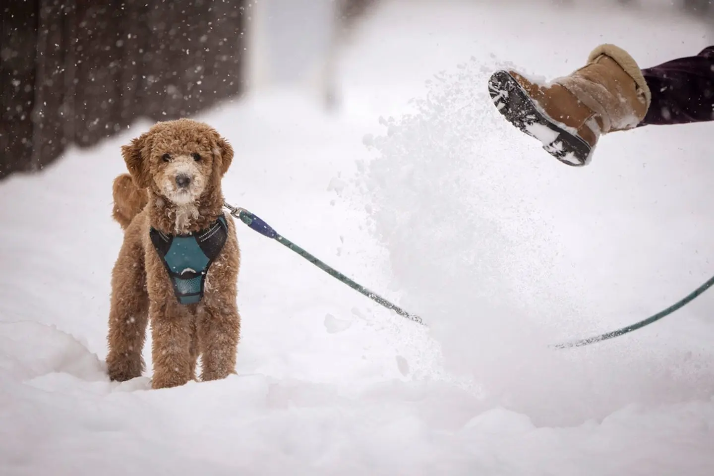


Residents in Washington, Montana, Alaska, Idaho, and Michigan are bracing for severe winter weather as warnings and advisories have been issued by the National Weather Service (NWS). With up to a foot of snow expected in Montana and hazardous conditions forecasted elsewhere, authorities are urging preparations for what could be a challenging few days.
Washington: Mixed Precipitation and Strong Winds
In Washington, heavy mixed precipitation and strong winds are expected, particularly in areas like Stevens Pass, Holden Village, and Stehekin. Snowfall of up to three inches, coupled with ice accumulations of 0.10 to 0.30 inches, is predicted. Winds gusting as high as 45 mph could exacerbate the situation, causing tree damage and power outages.
The NWS warns of dangerous travel conditions due to icy roads and accumulating snow. The winter storm warning remains in effect until 4 a.m. PST Wednesday, with additional advisories lasting until 4 p.m.
Montana: Severe Snowfall and Whiteout Conditions
Montana is bracing for the most significant impact, with heavy snow expected above 5,000 feet. Marias Pass and areas along Highway 83, including Bigfork and Swan Lake, could see 5 to 10 inches of snow. A 30% chance of up to 18 inches adds to concerns in higher elevations.
Whiteout conditions due to blowing snow are likely, with wind gusts reaching up to 85 mph in the East Glacier Park Region. The NWS warns of life-threatening travel conditions, advising tire chains and extreme caution.
Lower elevations may see 1 to 4 inches of snow. The advisory remains in place until 5 a.m. MST Thursday.
Alaska: Snow and Freezing Rain in Southern Areas
Alaska’s far southern panhandle will experience snow and freezing rain as a low-pressure system moves through. While snowfall totals are expected to be lower than initially predicted, freezing rain poses a hazard. Rising temperatures will likely transition the snow to rain by late Wednesday. The advisory is active until 6 p.m. AKST.
Idaho: Mountain Snow and Gusty Winds
In Idaho, snow above 4,000 feet could lead to moderate travel disruptions. Areas like Powell to Lolo Pass and Northern Clearwater Mountains are forecasted to receive 1 to 6 inches of snow, with wind gusts of up to 45 mph compounding challenges for motorists. The advisory remains in effect until 10 a.m. PST Wednesday.
Michigan: Lake Effect Snow in Upper Peninsula
Michigan’s Upper Peninsula, including Gogebic, Northern Houghton, and Ontonagon counties, is under a winter weather advisory. Snowfall accumulations of 3 to 5 inches are expected, with isolated areas near the Porcupine Mountains seeing up to 7 inches. Conditions could make travel hazardous through Wednesday evening.
Authorities Urge Preparation
Across all affected states, residents are being urged to stock up on essential supplies, including food, water, and heating equipment. Motorists are advised to ensure vehicles are winter-ready, with emergency kits at hand.
As conditions continue to evolve, the NWS emphasizes the importance of staying informed through local updates. Residents should heed all official warnings and prepare for potential disruptions to daily life.